- Instructor of record: Eliza Todd
- Instructor of record: Amanda Weidman
- Instructor of record: Susanna Fioratta
- Instructor of record: Jennifer Eyre
- Instructor of record: Jennifer Eyre
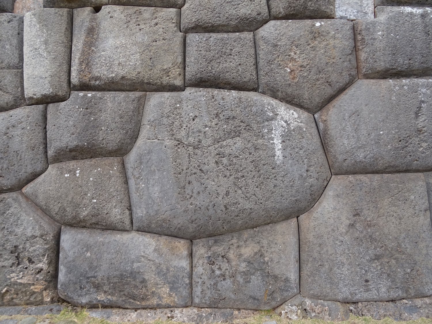
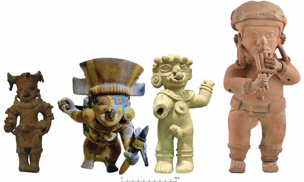
This course takes a comparative perspective to consider state development in Central and South America through the Early Spanish Colonial Era. The course is divided into three sections: In the first third, you will learn about the development of the Maya and the Wari, consider the cultural distinctions between the two states, and compare how each state set the stage for upcoming major Imperial Empires. The second section studies how Aztec and Inka civilizations built upon (or did not) existing infrastructures and religious traditions to become major powers. The third section investigates how Spanish colonial processes were shaped by cultural traditions in Mexico and Peru. Specifically, this third section explores how cultural structures and shifting alliances led to Spanish forces adapting and exacerbating these factors in their ultimately successful conquests of each region.
- Instructor of record: Scotti Norman
How do archaeologists study gender in the past? Who is allowed to produce knowledge about the past? This course foregrounds gender as a structuring part of past lives and explores the construction of gender in archaeological interpretations across time and space. Incorporating recent theoretical approaches which draw on feminist and queer theory, we study how gender can be practically applied to archaeological investigations of daily life in the past, including labor, mortuary analysis, and space and landscape. This engendered perspective, which includes women, men, and nonbinary genders, promotes more nuanced understandings of social complexity and diversity of past communities.
- Instructor of record: Scotti Norman
- Instructor of record: Amanda Weidman
- Instructor of record: Melissa Pashigian
- Instructor of record: Karen Sulpizio
- Instructor of record: Arleen Zimmerle
- Instructor of record: Susanna Fioratta
In this discussion-based seminar, students will become familiar with theories of space, place, and landscape, as well as interpretation and implementation of spatial analyses of social science data. Students will learn how the concept of space developed in social science, and how anthropologists and other social scientists have broadened their understandings of the past as a result of the spatial turn. Assignments will include spatial analysis practica such as mobile survey and aerial survey via Google Earth and other GIS platforms. Students will be given the option of a creative Unessay or an Essay on a topic of their choosing as the final project. This project can use numerous public datasets available online, or students can use their own data or some of my own in their projects.
- Instructor of record: Scotti Norman
- Instructor of record: Jennifer Eyre
- Instructor of record: Melissa Pashigian