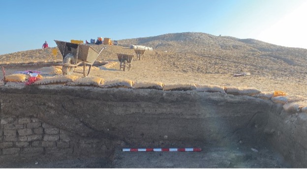
This course will examine the state-of-the-art methodologies for fieldwork archaeology. We will be exploring multiple techniques and technologies that serve to identify archaeological sites in different geographical settings and to process, analyze, and catalog contextual artifacts. More specifically, we will consider different approaches to archaeological research in the field, from remote sensing to micro-stratigraphy. We will be employing several techniques to map, visualize, and represent data in a virtual environment; we will learn how to use GPS (Global Positioning System), GIS (Geographic Information System), and other geo-spatial data (including smartphone-based survey tools), as well as unmanned vehicles (commonly known as drones) for mapping, photographing, and visualizing archaeological sites and features. We will be learning the primary techniques and how-tos at the core of both archaeological survey and excavation. In addition, we will be also exploring different methods of processing artifacts: from archaeological photography (in the field and at the dig house/lab to pottery analysis protocol, from in-field recording techniques to archaeological databases.
- Instructor of record: Rocco Palermo
Instruction Mode: In Person
Class Meeting Dates and Times: Tuesday and Thursday - 2.25-3.45 pm in Dalton Hall 10
